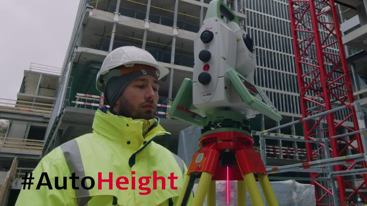
Leica Nova MS60 MultiStation: The scanning robotic total station
The ultimate all-rounder, a scanning, self-learning total station with GNSS connectivity and digital imaging
The Leica Nova MS60, the world’s first self-learning MultiStation, enables you to perform all surveying tasks with one instrument.
The MS60 is a scanning total station that empowers complete data collection of individual points and large areas by leveraging sensor fusion and automation. Seamlessly integrated into Leica field and office surveying software, you can quickly complete your work on-site and offer a range of high-value deliverables.
Highest-end total station
3D laser scanning
GNSS connectivity
Digital imaging
When to use the Leica Nova MS60
Traditional surveying and so much more. Learn ways our scanning total station enables measurement tasks and deliverables for a range of sites and structures.
- Surfaces and volumes in construction and mining, soil heaps and stockpiles, DTM creation and checking surfaces, material thickness, blast faces and ground levels
- Analysis of complex structures and objects within plant, marine and utility projects: dimensional control, as-built and record keeping
- Measuring buildings and structures: bridge condition/clearance analysis, BIM and as-built
- Facade, elevations and heritage work: creation of traditional deliverables like 2D maps or 3D models
- Deformation monitoring of structures and ground: automated or periodic measurements of buildings, transportation infrastructure, natural hazards, dams and other objects
Integrated surveying, monitoring and CAD software
- Leica Captivate - the MS60’s onboard software with easy-to-use apps that cover all your surveying tasks. Includes a range of tools to optimise scanning tasks, like the Inspect Surface app and more.
- Leica Infinity - an intuitive surveying office software enabling seamless data transfer from the MS60 to the office to manage, process, analyse and quality check your field data.
- Leica GeoMoS - the automated deformation monitoring software providing movement analysis, reports and notifications
- Leica Cyclone - point cloud processing, management, collaboration and visualisation software.
- Leica Cloudworx - CAD plugins that allow you to work efficiently with large point clouds directly in your chosen CAD system
- Additional Hexagon packages and selected partner software

Highway monitoring enabled by patch scanning
Innovations to the MS60
The payoff of a scanning total station
Leica MS60 MultiStation is fully compatible with:
MS60
Innovations to the Leica Nova MS60 Scanning Total Station
Leica Nova MS60 – Dynamic Lock
Related Topics
Increase Surveying Productivity through Imaging and Augmented Reality
Digital Interoperability Between Leica Infinity and Leica Cyclone
Just a Sticker? The Value Behind Certifying Your Measurement Instruments
Customer Stories
The Not-So Surprising Secret to Running a Successful Surveying Firm
Adding Real Customer Value with the Leica MS50 MultiStation
Case Studies
Innovating As-Built Verification
Monitoring with the MS60
Learn how the MS60 has been incorporated into comprehensive and automated monitoring solutions on projects across the world.
Monitoring Dublin Commuter’s Safety
Scanning High-Traffic Roads Unmanned
Slope Movement Monitoring at Hinkley Point C
Legacy Cases
While MS60 technology has progressed since these cases first came out, they continue to inspire with what MultiStation technology can achieve on outstanding projects.
Lift-off with MultiStations, Robotic Total StationsReturn to the High-Definition Surveying Seas
Scan of the Mont Blanc Ice Cap


